Where are the pathways of stormwater into the river and how can we better understand these in order to respond more effectively?
This project focuses on the root causes and pathways of stormwater and pollution that threaten the health of the Birrarung River. It combines a few threads and sub-projects (some led by Monash researchers and students, some by partner organisations).
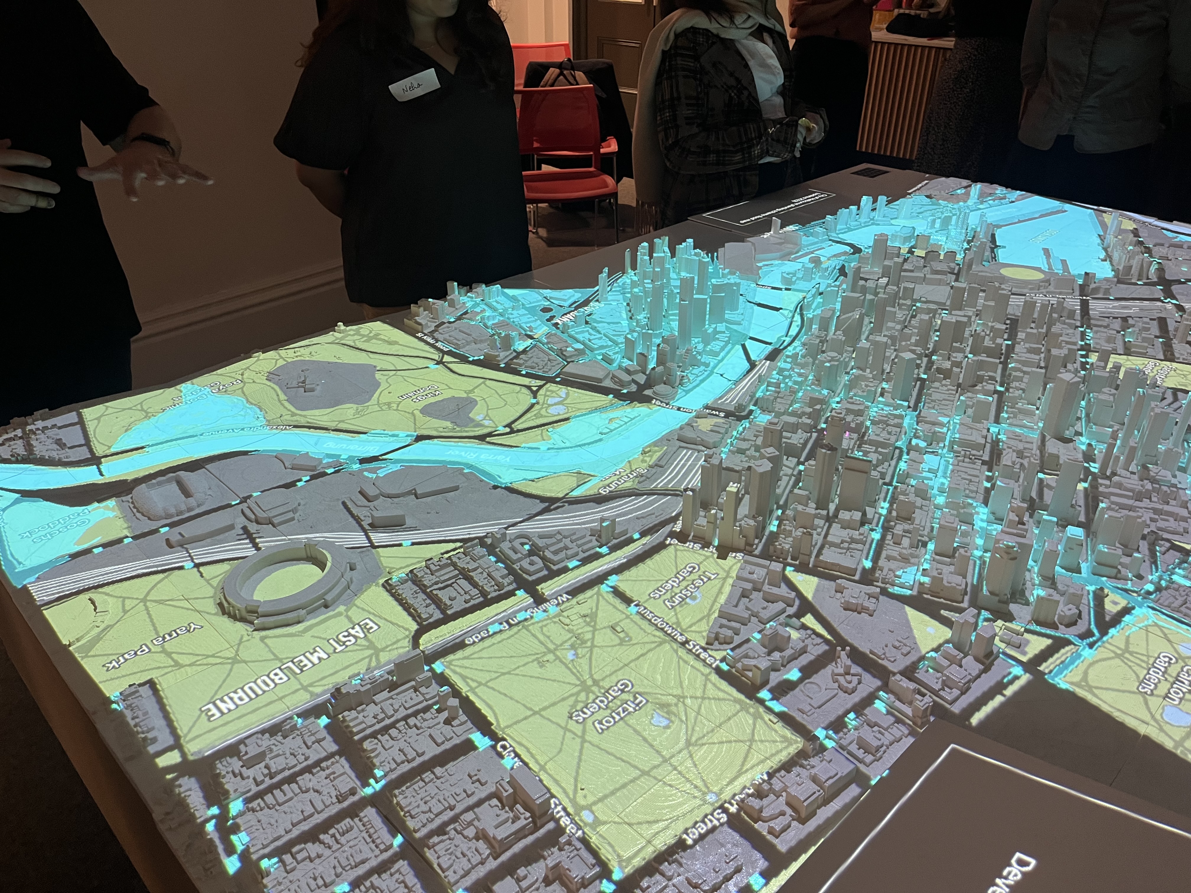
A key focus is uncovering and visualising often-hidden stormwater routes that remain poorly accessible and hidden, due to fragmented governance across agencies. By combining innovative visualisations with water sector actors and academic research expertise, the project explores new ways of representing water quality and river health that make complexity legible and actionable.
Part of the work includes synthesis of existing research and GIS mapping to identify stormwater pressure points and pollutant sources along the river and its tributaries.
The work also explores the role of tools and immersive experiences to shift the narrative around stormwater to help advance more coherent and effective efforts towards making the Birrarung swimmable, where appropriate.
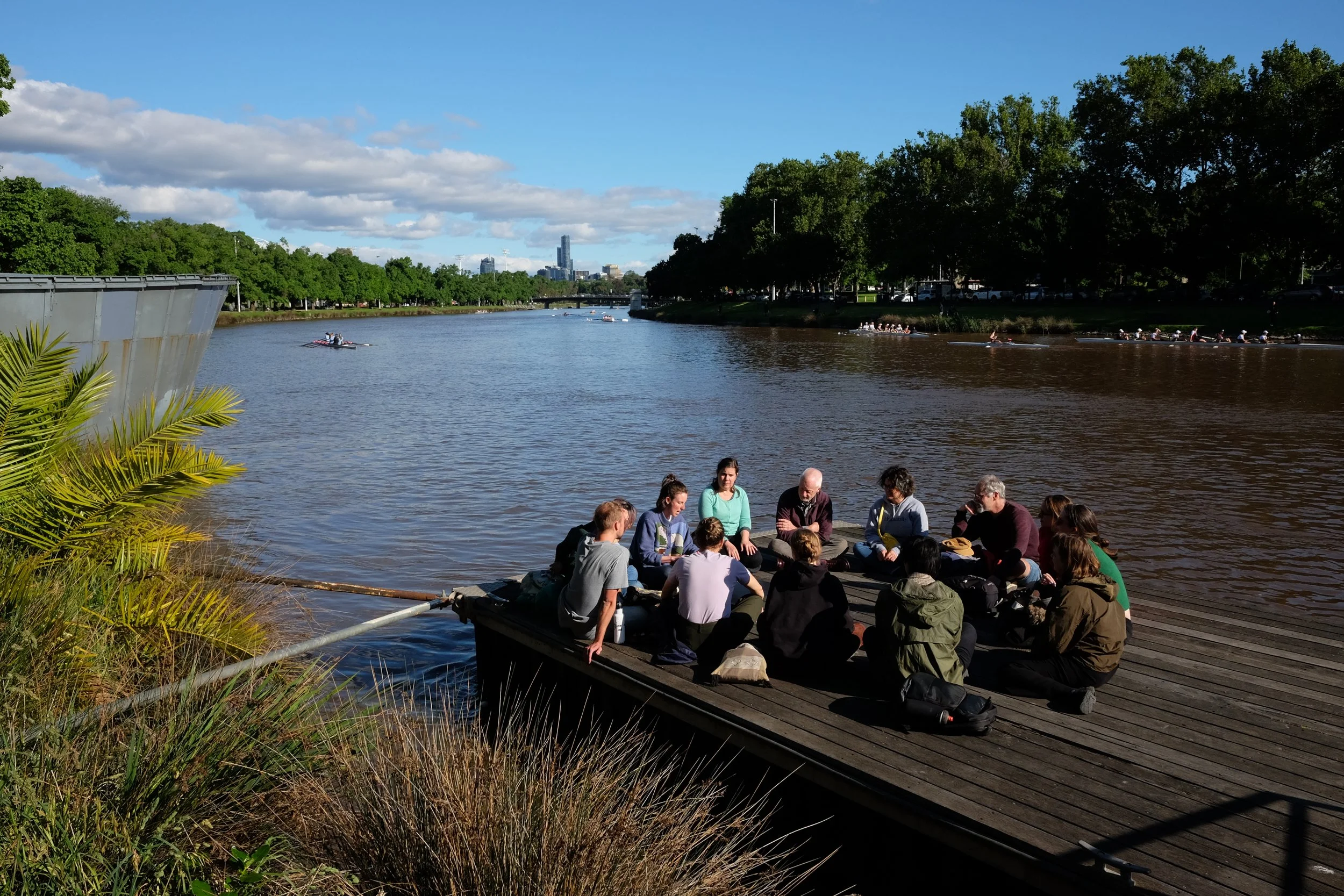
Through ths project we connect water sector experts with researchers, support research grant applications, host immersive experiences and supervise student projects.


Explore more resources
Reflections on stormwaterAwaiting outcome of Monash Faculty of IT internal seed grant application on innovative visualisations of Birrarung River health.

Monash Urban Planning student interning with on stormwater sources project
Changing the stormwater conversation event, as part of 2025 Birrarung Riverfest with Arup, City of Melbourne and YRKA.
Arup project on the pollution sources to the Birrarung River
Monash Faculty of IT internal seed grant application submitted on innovative visualisations of Birrarung River health
Research, guides, and stories from the work underway.